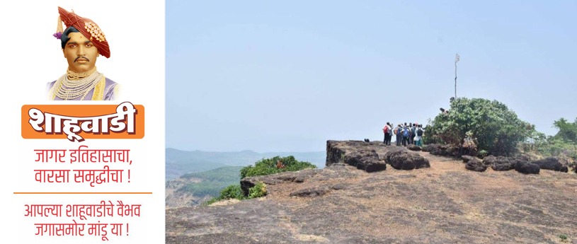
Introduction to Shahuwadi Taluka – Geography, Demographics & Setting
Discover Shahuwadi Taluka of Kolhapur—its geography, villages, people, literacy, and culture nestled in the lush Western Ghats of Maharashtra.
HISTORY OF SHAHUWADI
Mandar Vaidya
12/7/20241 min read
Shahuwadi is one of the 12 talukas (tehsils) in Kolhapur district in Maharashtra, in the Karvir subdivision. It spans an area of about 1,025 square kilometers with a population of roughly 185,661 per the 2011 Census. Population density is about 180 – 181 people per sq km.
Of this population, 97.1% live in rural areas and only about 2.9% reside in the one urban centre. The sex ratio is favourable: there are about 1,021 females for every 1,000 males, higher than many parts of the state. Children aged 0-6 make up around 11% of the population.
Literacy is about 72.7% overall. Male literacy is about 81.99%, female literacy lower, about 63.7%. There is a marked gap. Scheduled Castes make up around 11.3%, Scheduled Tribes about 0.27%.
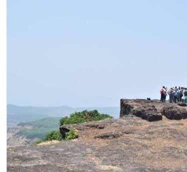
Shahuwadi comprises 145 villages and 1 town. The landscape is part of the Western Ghats (Sahyadri) region; it’s hilly, rich in forested areas, water bodies, and falls on the route connecting through Amba Ghat toward the Konkan region.
This setting gives Shahuwadi a rustic charm; abundant nature, villager-lifestyle, historical places, but also challenges in connectivity, infrastructure and services. In coming posts, I’ll explore the economy, culture, tourism, history and development issues in more detail.
[Data - Census India 2011]
Visit our other ventures
Contact
Get in touch
Email - info@shahuwadi.com
Mobile -
© 2010 - 2026. All rights reserved.